APJ ABDUL KALAM TECHNOLOGICAL UNIVERSITY Previous Years Question Paper & Answer
Semester : SEMESTER 3
Subject : Engineering Geology
Year : 2019
Term : MAY
Branch : CIVIL ENGINEERING
Scheme : 2015 Full Time
Course Code : CE 205
Page:2
b)
C1138 Pages 2
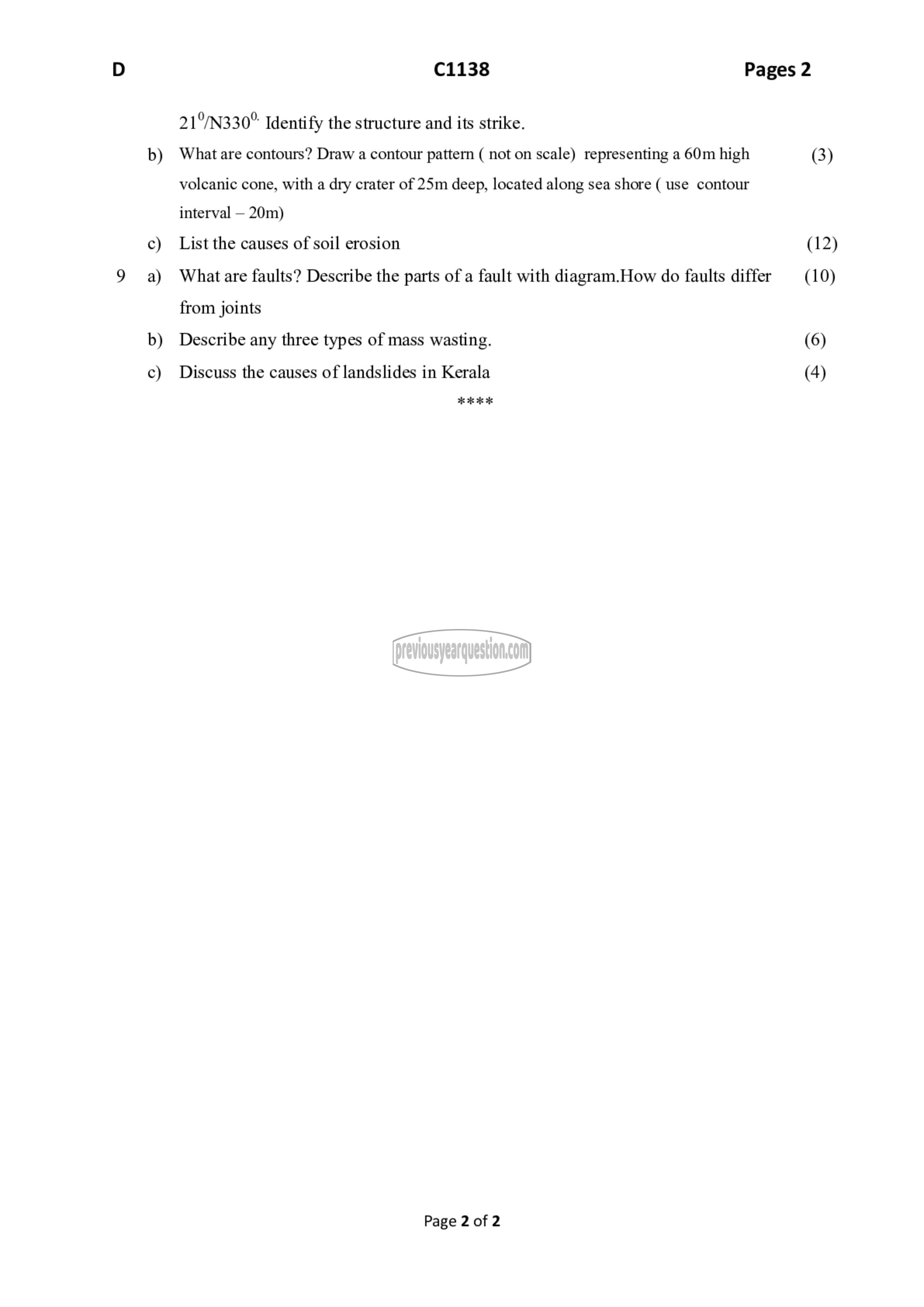
21°/N330° Identify the structure and its strike.
What are contours? Draw a contour pattern ( not on scale) representing a 60m high
volcanic cone, with a dry crater of 25m deep, located along sea shore ( use contour
interval — 20m)
List the causes of soil erosion
What are faults? Describe the parts of a fault with diagram.How do faults differ
from joints
Describe any three types of mass wasting.
Discuss the causes of landslides in Kerala
اد मं मैप اد
Page 2 of 2
(3)
(12)
(10)
(6)
(4)
