APJ ABDUL KALAM TECHNOLOGICAL UNIVERSITY Previous Years Question Paper & Answer
Semester : SEMESTER 5
Subject : Geomatics
Year : 2022
Term : JANUARY
Branch : CIVIL ENGINEERING
Scheme : 2015 Full Time
Course Code : CE 307
Page:2
b)
a)
b)
a)
b)
a)
b)
0)
೩)
0)
೩)
0)
0)
06000CE307122001
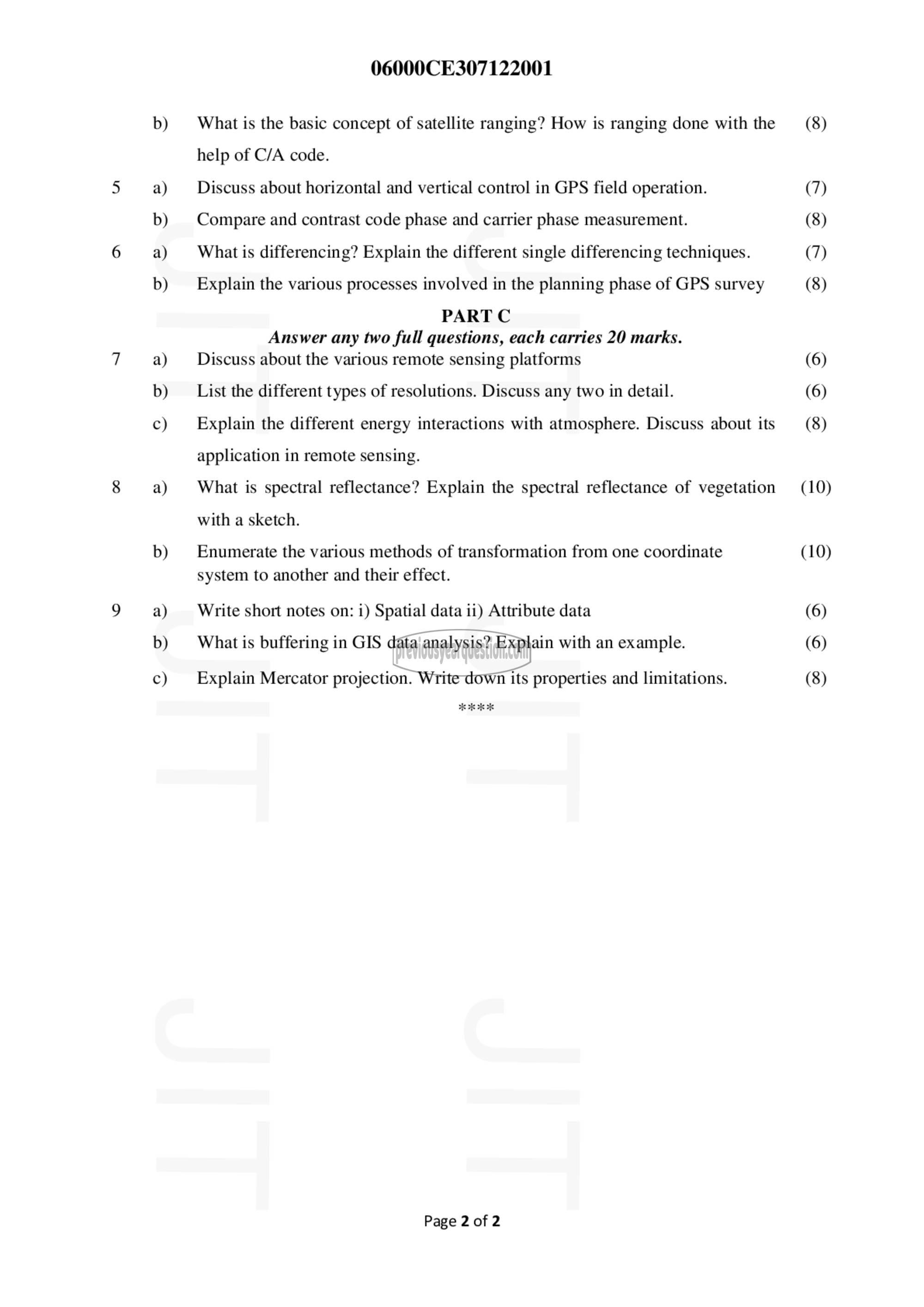
What is the basic concept of satellite ranging? How is ranging done with the
help of C/A code.
Discuss about horizontal and vertical control in GPS field operation.
Compare and contrast code phase and carrier phase measurement.
What is differencing? Explain the different single differencing techniques.
Explain the various processes involved in the planning phase of GPS survey
PART C
Answer any two full questions, each carries 20 marks.
Discuss about the various remote sensing platforms
List the different types of resolutions. Discuss any two in detail.
Explain the different energy interactions with atmosphere. Discuss about its
application in remote sensing.
What is spectral reflectance? Explain the spectral reflectance of vegetation
with a sketch.
Enumerate the various methods of transformation from one coordinate
system to another and their effect.
Write short notes on: 1) Spatial data 11) Attribute data
What is buffering in GIS data analysis? Explain with an example.
Explain Mercator projection. Write down its properties and limitations.
Page 2 of 2
(8)
(7)
(8)
(7)
(8)
(6)
(6)
(8)
(10)
(10)
(6)
(6)
(8)
