APJ ABDUL KALAM TECHNOLOGICAL UNIVERSITY Previous Years Question Paper & Answer
Semester : SEMESTER 5
Subject : Geomatics
Year : 2019
Term : DECEMBER
Branch : CIVIL ENGINEERING
Scheme : 2015 Full Time
Course Code : CE 307
Page:2
a)
b)
a)
b)
0)
a)
b)
a)
b)
0)
1192027 Pages:2
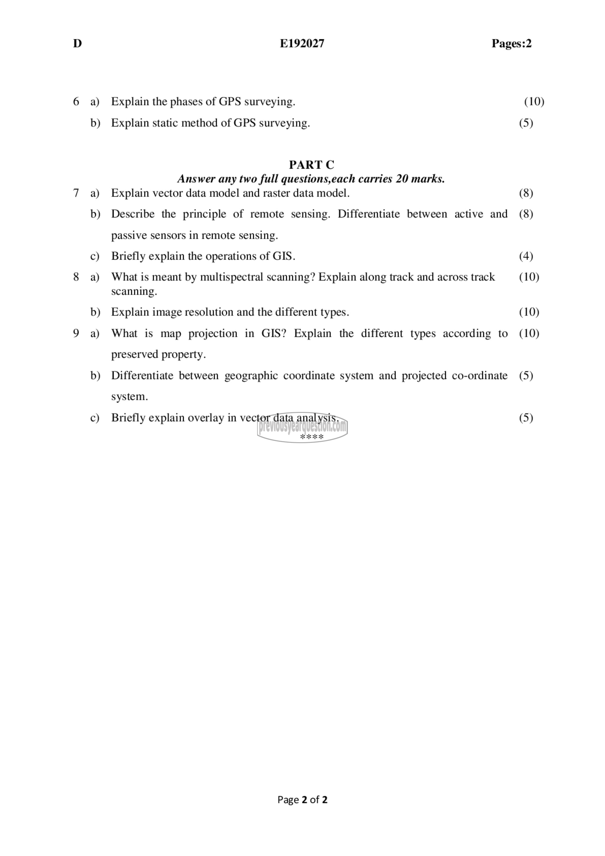
Explain the phases of GPS surveying.
Explain static method of GPS surveying.
PART C
Answer any two full questions,each carries 20 marks.
Explain vector data model and raster data model.
Describe the principle of remote sensing. Differentiate between active and
passive sensors in remote sensing.
Briefly explain the operations of GIS.
What is meant by multispectral scanning? Explain along track and across track
scanning.
Explain image resolution and the different types.
What is map projection in GIS? Explain the different types according to
preserved property.
Differentiate between geographic coordinate system and projected co-ordinate
system.
Briefly explain overlay in vector data analysis.
Page 2 of 2
(10)
(5)
(8)
(8)
(4)
(10)
(10)
(10)
(5)
(5)
