APJ ABDUL KALAM TECHNOLOGICAL UNIVERSITY Previous Years Question Paper & Answer
Semester : SEMESTER 5
Subject : Geomatics
Year : 2020
Term : DECEMBER
Branch : CIVIL ENGINEERING
Scheme : 2015 Full Time
Course Code : CE 307
Page:2
b)
a)
b)
a)
b)
a)
b)
0)
a)
b)
0)
೩)
0)
0)
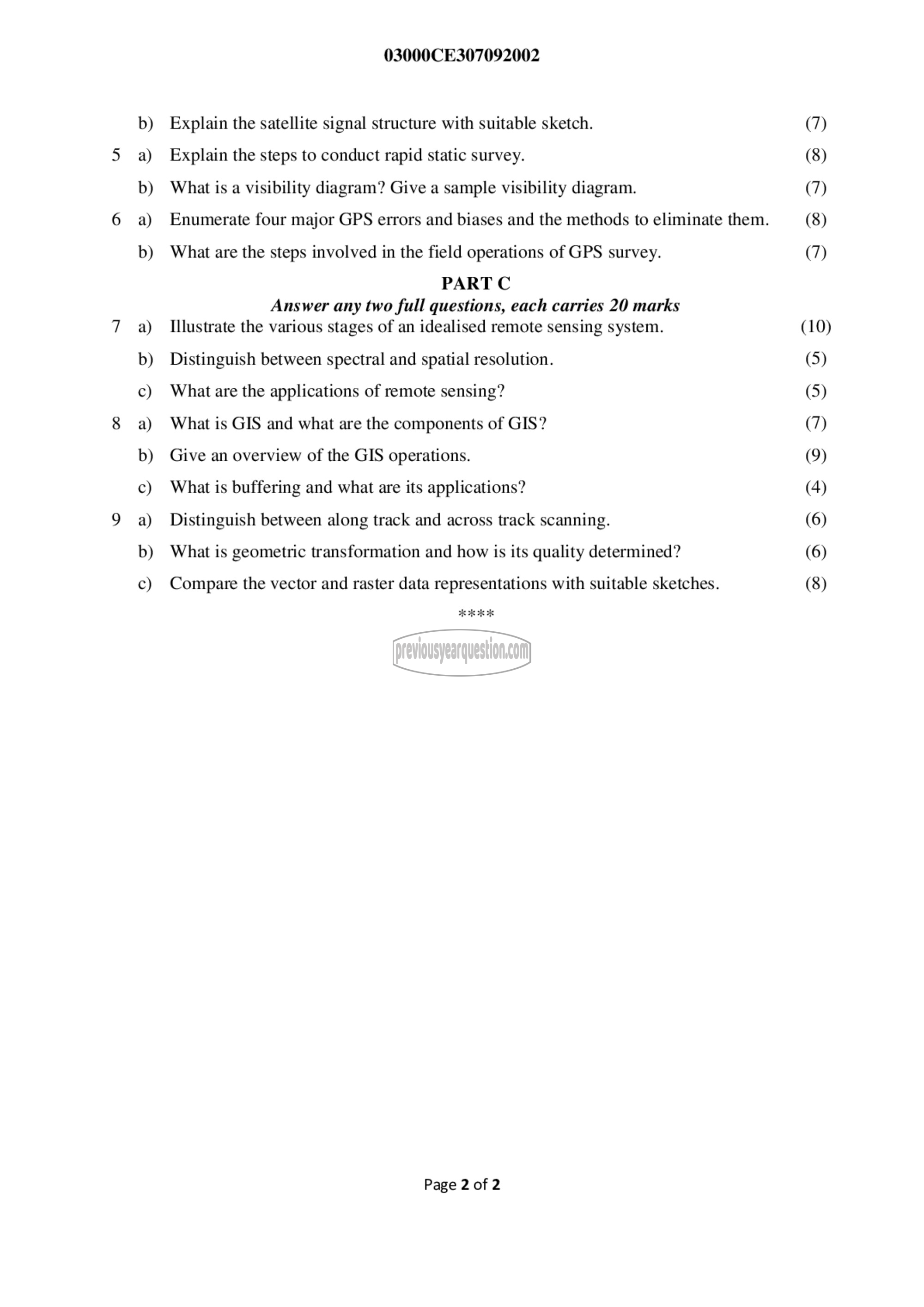
03000CE307092002
Explain the satellite signal structure with suitable sketch.
Explain the steps to conduct rapid static survey.
What is a visibility diagram? Give a sample visibility diagram.
Enumerate four major GPS errors and biases and the methods to eliminate them.
What are the steps involved in the field operations of GPS survey.
PART C
Answer any two full questions, each carries 20 marks
Illustrate the various stages of an idealised remote sensing system.
Distinguish between spectral and spatial resolution.
What are the applications of remote sensing?
What is GIS and what are the components of GIS?
Give an overview of the GIS operations.
What is buffering and what are its applications?
Distinguish between along track and across track scanning.
What is geometric transformation and how is its quality determined?
Compare the vector and raster data representations with suitable sketches.
പലി
Page 2 of 2
(7)
(8)
(7)
(8)
(7)
(10)
(5)
(5)
(7)
(9)
(4)
(6)
(6)
(8)
