APJ ABDUL KALAM TECHNOLOGICAL UNIVERSITY Previous Years Question Paper & Answer
Semester : SEMESTER 5
Subject : Geomatics
Year : 2020
Term : SEPTEMBER
Branch : CIVIL ENGINEERING
Scheme : 2015 Full Time
Course Code : CE 307
Page:2
b)
0)
a)
b)
a)
b)
a)
b)
a)
b)
0)
a)
b)
0)
a)
b)
0)
03000CE307092003
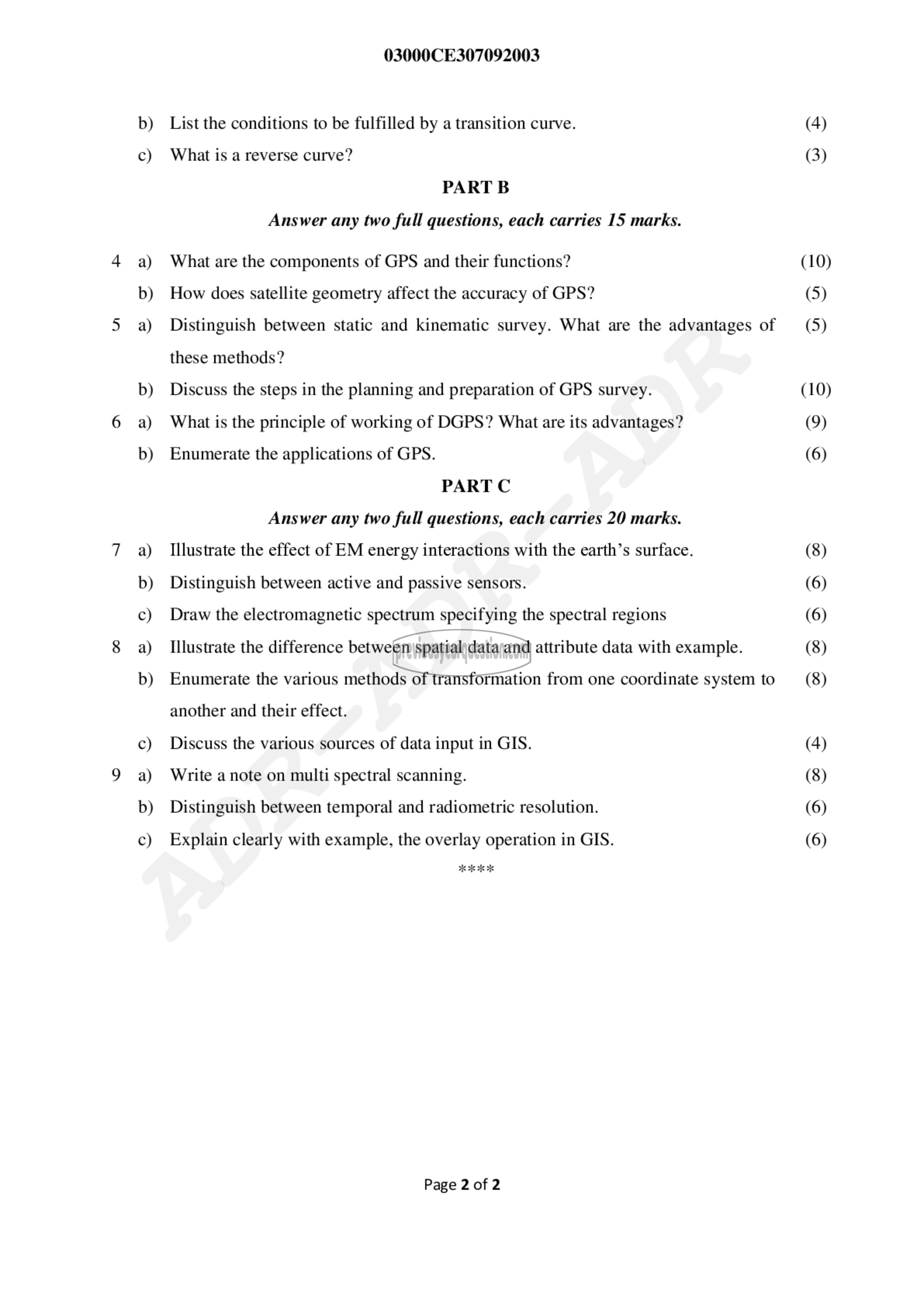
List the conditions to be fulfilled by a transition curve.
What is a reverse curve?
PART 13
Answer any two full questions, each carries 15 marks.
What are the components of GPS and their functions?
How does satellite geometry affect the accuracy of GPS?
Distinguish between static and kinematic survey. What are the advantages of
these methods?
Discuss the steps in the planning and preparation of GPS survey.
What is the principle of working of DGPS? What are its advantages?
Enumerate the applications of GPS.
PART C
Answer any two full questions, each carries 20 marks.
Illustrate the effect of EM energy interactions with the earth’s surface.
Distinguish between active and passive sensors.
Draw the electromagnetic spectrum specifying the spectral regions
Illustrate the difference between spatial data and attribute data with example.
Enumerate the various methods of transformation from one coordinate system to
another and their effect.
Discuss the various sources of data input in GIS.
Write a note on multi spectral scanning.
Distinguish between temporal and radiometric resolution.
Explain clearly with example, the overlay operation in GIS.
Page 2 of 2
(4)
(3)
(10)
(5)
(5)
(10)
(9)
(6)
(8)
(6)
(6)
(8)
(8)
(4)
(8)
(6)
(6)
